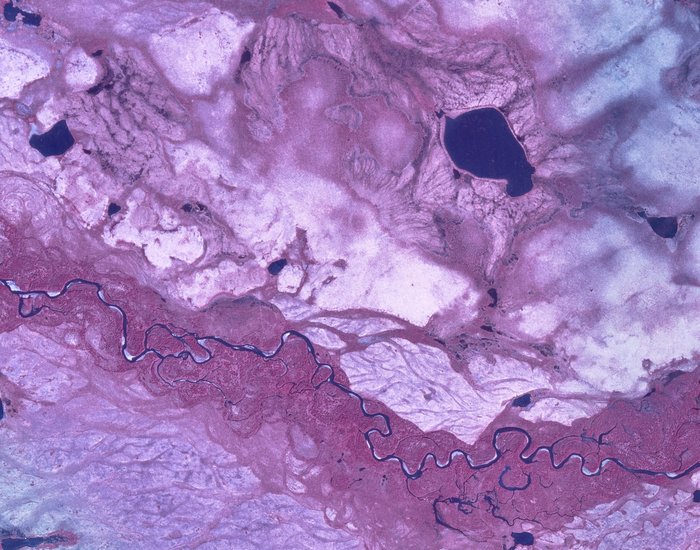
Tundra in Infrared
Get the one you need:
| File Size: | 21.1 KB | 77.0 KB | 119.3 KB | 508.7 KB | 1.2 MB |
| Image Size: | 300px | 600px | 750px | 1600px | Original |
Embed
1. Select a size:
2. Cut and Paste:
| File Size: | 21.1 KB | 77.0 KB | 119.3 KB | 508.7 KB | 1.2 MB |
| Image Size: | 300px | 600px | 750px | 1600px | Original |
1. Select a size:
2. Cut and Paste: