Photos
1. Select a size:
2. Cut and Paste:
Photo taken by Bretwood Higman, Erin McKittrick
By Ground Truth Trekking
Content on this page is available under a Creative Commons Attribution license.
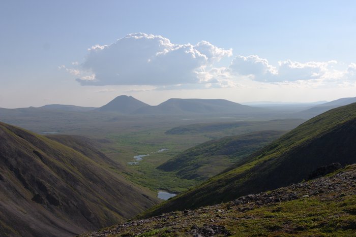 — This shows the lower end of the area that would be covered by tailings facility 'A'.