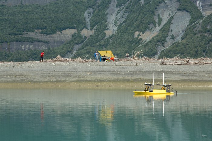
Remote Controlled Mapping Boat and Office
Get the one you need:
| File Size: | 13.8 KB | 50.4 KB | 76.9 KB | 290.7 KB | 534.6 KB |
| Image Size: | 300px | 600px | 750px | 1600px | Original |
Embed
1. Select a size:
2. Cut and Paste:
| File Size: | 13.8 KB | 50.4 KB | 76.9 KB | 290.7 KB | 534.6 KB |
| Image Size: | 300px | 600px | 750px | 1600px | Original |
1. Select a size:
2. Cut and Paste: