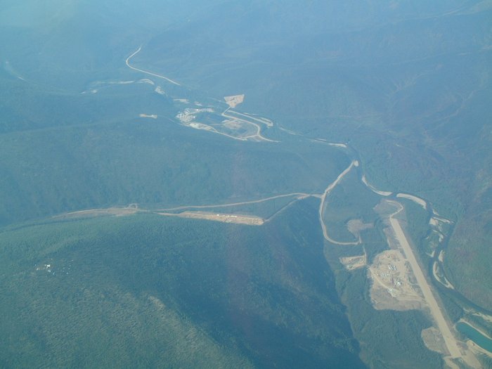
Pogo Mine aerial view
Get the one you need:
| File Size: | 9.0 KB | 32.6 KB | 51.2 KB | 237.4 KB | 306.1 KB |
| Image Size: | 300px | 600px | 750px | 1600px | Original |
Embed
1. Select a size:
2. Cut and Paste:
| File Size: | 9.0 KB | 32.6 KB | 51.2 KB | 237.4 KB | 306.1 KB |
| Image Size: | 300px | 600px | 750px | 1600px | Original |
1. Select a size:
2. Cut and Paste: