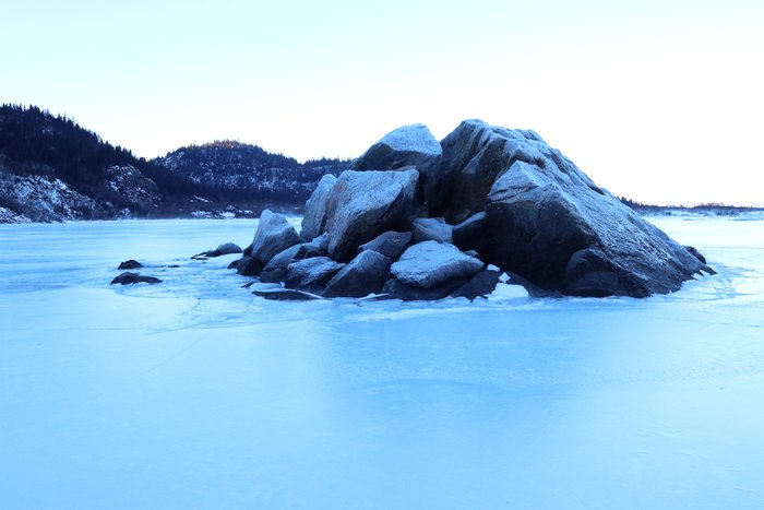
Island in the ice

This rock juts from deep water in Grewingk Lake.
— Nice rocky island - what does this have to do with ice? Ok, bear with me here - it's a bit of a long road. This island is what is called a mollard: a conical hill that forms in a landslide. The landslide that formed it was in 1967 - one of the largest landslides of the 20th century. The tsunami it generated stripped the forest from the hills nearly 200 feet up. This landslide happened because the glacier was retreating - before then, the glacier filled the valley, and pressed up against the slopes, providing support. So: that's what this has to do with ice! This is an ongoing risk at Grewingk, since there are other slopes that are similarly destabilized by the ongoing retreat of the ice. We did not camp on the shore so that we would be safer in the event of another landslide and tsunami.

Get the one you need:

File Size: 9.8 KB 31.9 KB 47.6 KB 190.1 KB 14.8 MB
Image Size: 300px 600px 750px 1600px Original

Embed

1. Select a size:


2. Cut and Paste:


Attribution and Copyright info

By Ground Truth Trekking

Content on this page is available under a Creative Commons Attribution license.